Get Out
These 5 hikes are a perfect way to enjoy the outdoors in Central Texas

Part of the magic of living in Texas is that you're never very far from nature. With the state's abundance of wide-open spaces, trails, and swimming holes, taking a trek to escape the hustle and bustle of everyday life is relatively easy.
With the arrival of spring, now is the perfect time to experience the mellowing yet inspiring effects of a day hike. These five free Central Texas hikes are just a few hours away from Fort Worth. They all start in or around Austin and are a great way to explore the beauty of the area.
Schedule one or two on your next weekend getaway or business trip to the Capital City, or plan a days-long adventure and give your hiking shoes — and camera — a real workout.
Georgetown Lake Good Water Trail
The best day hike on the 28-mile Good Water Trail around Lake Georgetown is an out-and-back totaling five miles to the charming waterfall and fern-covered cliff of Crockett Gardens. Take I-35 to Highway 29, then head west toward D.B. Cooper Road and then north to the trailhead at Cedar Breaks Park.
Know before you go: Pick up a trail map at the entrance. Some sections are quite rocky so wear stout shoes, and don’t get so distracted by the views from tall bluffs overlooking the lake that you fail to pay attention to where you put your feet.
McKinney Roughs Nature Park
More than 17 miles of trails crisscross this Lower Colorado River Authority park 13 miles east of the Austin airport on Highway 71. Enjoy easy strolls down well-maintained paths and benches overlooking valley vistas, and don’t miss the Riverside Trail where water burbling over rapids soothes taut nerves.
Know before you go: The maze of interconnected paths can be confusing. Pick up a trail map at the visitor center before setting out. If hiking seems too sedate, check out the zip line canopy tour at Zip Lost Pines.
Barton Creek Greenbelt — Twin Falls
One of the best Austin day hikes is also one of the easiest to get to in the city itself. The trailhead for the Barton Creek Greenbelt — Twin Falls section is just south of Barton Creek Mall on the southbound MoPac service road. Park on the shoulder and walk downhill to enter the trail. A steep descent leads to two miles of generally flat, smooth pathways with a few rocky obstacles. The finale is the famous (or infamous) Hill of Life, a relentless half-mile climb that rewards hikers with elevated pulse rates and expansive views. Out and back totals about six miles.
Know before you go: When recent rains make the creek flow, definitely consider a dip at Twin Falls or Sculpture Falls. Swimmers, hikers, mountain bikers, and trail runners may cause crowding during peak times.
Slaughter Creek Trail
Hikers can choose from easy 3- or 5-mile loops through fields and forests on this city-owned water quality management land. Go south on MoPac to Slaughter Lane. Head west to FM 1826 then south to the gate on the left just across from Slaughter Creek. The trail is rarely crowded, but be ready to share with horses and mountain bikes.
Know before you go: The main gate closes automatically at dusk, so watch the sun and don’t get trapped. Also, the entire trail may be closed after a rain, so check the Facebook page to see if it’s open.
Southern Walnut Creek Trail
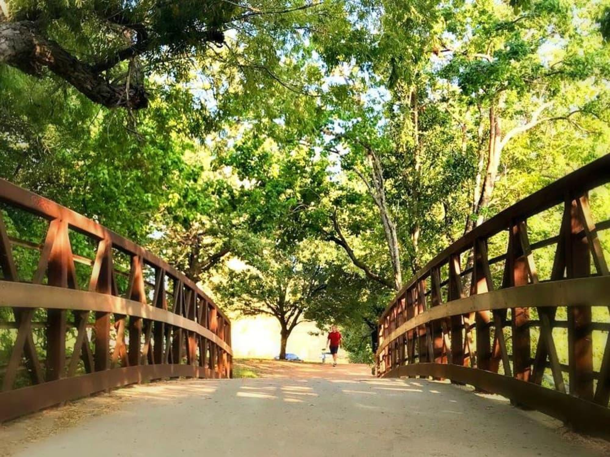
The City of Austin paved all seven miles of the Southern Walnut Creek Trail with smooth concrete, making it ideal for wheelchairs, baby strollers, and anybody who prefers easy sauntering to clambering over rocks. Plus, it's just blocks from downtown. Take Airport Road to Bolm Road and go east a quarter-mile to Govalle Park in order to start your out-and-back hike of any length.
Know before you go: The pavement is 10 feet wide and there are hardly any road crossings, but stay alert for speedy bicyclists overtaking or coming the other direction.